World Hydrography Day 2024
World Hydrography Day, celebrated annually on June 21st, offers a global platform to recognize and promote the importance of hydrography, the science of surveying and charting bodies of water. This significant day, established by the International Hydrographic Organization (IHO), underscores the vital role hydrography plays in various sectors including navigation, environmental protection, and maritime boundaries. As we prepare to celebrate World Hydrography Day 2024, let’s dig into the date, theme, history, and significance of hydrographic surveys, and explore the myriad ways this field impacts our world.
Date and Theme of World Hydrography Day 2024
World Hydrography Day is observed on June 21st each year. This date was chosen to commemorate the establishment of the International Hydrographic Organization in 1921. Each year, the IHO selects a theme to focus on specific aspects of hydrography. The theme for World Hydrography Day 2024 is “Hydrographic Information – Enhancing Safety, Efficiency and Sustainability in Marine Activities”.This theme highlights the essential role of hydrographic surveys in ensuring safe navigation, sustainable use of marine resources, and environmental protection.
The International Hydrographic Organization (IHO) recognizes that the way we navigate the oceans is changing rapidly. This includes advancements in e-navigation, autonomous ships, and reducing emissions. To keep up with these changes, the IHO is committed to several key areas:
1. Standardization and Data:
- They’ll continue to develop and maintain standards for hydrographic data and how it’s presented (charts, etc.). This ensures consistency and ease of use for everyone involved in maritime activities.
- They’ll support the regular production of this data and coordinate how it’s shared regionally and globally. This ensures everyone has access to the latest information.
2. Data Quality and Security:
- They understand the importance of reliable data, so they’ll develop standards and guidelines for data assurance. This includes cybersecurity measures and processes to check data quality.
3. Capacity Building:
- The IHO recognizes that not all countries have the same resources for hydrographic services. They’ll provide training and support to help member states improve their ability to collect and use hydrographic data. This, in turn, improves safety, efficiency, and sustainability of maritime navigation for everyone.
4. Collaboration and Outreach:
- They want to encourage everyone involved in maritime activities (including other international organizations, universities, and private companies) to work together on developing and using new standardized data products and services. This fosters innovation and ensures everyone benefits from advancements.
5. Sustainability:
- The IHO recognizes the growing global focus on ocean sustainability. They’ll be more responsive to these needs by ensuring hydrographic data is readily available for efforts like conservation, climate change studies, and mitigating ocean hazards.
6. Broadening the Audience:
- Traditionally, hydrographic data has been used primarily for navigation. The IHO wants to expand its reach by making data more accessible to non-navigation users. This could include researchers, environmental groups, and disaster management teams.
7. Video Production:
- Finally, the IHO wants to create videos that explain these different aspects of their work. They’re inviting member states with relevant expertise to help produce these videos. This will raise awareness about the importance of hydrographic services and how they contribute to a healthy and thriving ocean.
History of World Hydrography Day
The celebration of World Hydrography Day began in 2005, following a resolution by the United Nations General Assembly. The day was officially established to raise awareness about the critical importance of hydrography and to promote the work of national hydrographic offices and the International Hydrographic Organization.
Hydrography itself has a rich history, dating back to ancient times when early mariners began creating rudimentary charts of coastal areas. The development of more accurate and detailed nautical charts evolved over centuries, with significant advancements during the Age of Exploration in the 15th and 16th centuries. Today, hydrographic surveys utilize advanced technologies such as sonar, satellite imagery, and Geographic Information Systems (GIS) to produce precise maps and charts.
Significance of Hydrographic Surveys
1. Navigation and Safety
One of the primary purposes of hydrographic surveys is to ensure safe navigation for all types of vessels. Accurate nautical charts are crucial for preventing maritime accidents, protecting lives, and reducing the risk of environmental disasters such as oil spills. These charts provide detailed information about water depths, underwater hazards, and the location of navigational aids, enabling mariners to navigate safely and efficiently.
2. Environmental Protection
Hydrographic surveys play a pivotal role in environmental protection. By mapping seabeds, coastlines, and underwater features, hydrographers can identify sensitive habitats, monitor changes in the marine environment, and support conservation efforts. This information is essential for managing marine protected areas, studying the impacts of climate change, and implementing measures to mitigate environmental degradation.
3. Economic Development
The data obtained from hydrographic surveys is fundamental to various economic activities, including shipping, fishing, offshore oil and gas exploration, and renewable energy projects. Accurate hydrographic information supports the efficient and sustainable use of marine resources, contributing to economic growth and development. Additionally, hydrography is critical for the construction and maintenance of maritime infrastructure such as ports, harbors, and underwater pipelines.
4. Maritime Boundaries and Sovereignty
Hydrographic surveys are essential for defining and delimiting maritime boundaries, which are crucial for national sovereignty and international relations. Accurate charts and data help resolve disputes over territorial waters, exclusive economic zones (EEZs), and continental shelf claims. This aspect of hydrography is vital for maintaining peace and cooperation among nations with shared maritime interests.
Technological Advances in Hydrography
The field of hydrography has seen remarkable technological advancements, transforming how surveys are conducted and data is analyzed. Modern hydrographic surveys utilize a combination of traditional and cutting-edge technologies to achieve high levels of accuracy and efficiency.
1. Multibeam Sonar
Multibeam sonar systems have revolutionized hydrographic surveying by providing detailed and accurate three-dimensional images of the seafloor. These systems emit multiple sonar beams in a fan shape, allowing for comprehensive coverage of the surveyed area. The data collected is processed to create high-resolution bathymetric maps, essential for safe navigation and environmental monitoring.
2. Satellite Imagery and Remote Sensing
Satellite imagery and remote sensing technologies have become integral to hydrography. These tools enable the mapping of large and remote areas, providing valuable data on coastal changes, sediment transport, and sea level rise. Satellites equipped with synthetic aperture radar (SAR) can penetrate clouds and darkness, offering continuous monitoring capabilities.
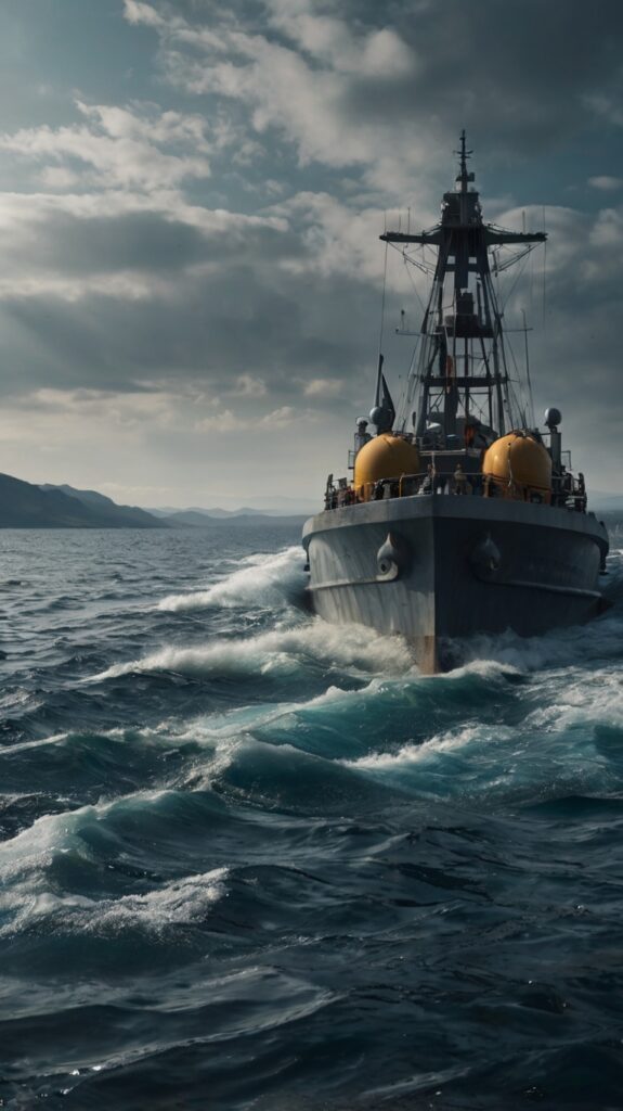
3. Autonomous Survey Vessels
The use of autonomous survey vessels (ASVs) is an emerging trend in hydrography. These unmanned vessels can operate in challenging and hazardous environments, collecting data with minimal human intervention. ASVs are equipped with advanced sensors and navigation systems, making them ideal for conducting surveys in areas that are difficult to access with traditional survey ships.
4. Geographic Information Systems (GIS)
Geographic Information Systems (GIS) are indispensable tools for hydrographers. GIS platforms allow for the integration and analysis of spatial data from various sources, facilitating the creation of detailed maps and models. These systems enable hydrographers to visualize complex data, identify patterns, and make informed decisions for navigation, resource management, and environmental protection.
The Future of Hydrography
As we look to the future, hydrography will continue to evolve, driven by advancements in technology and the growing need for sustainable management of marine resources. The integration of artificial intelligence (AI) and machine learning into hydrographic practices holds great promise for enhancing data processing and analysis. AI algorithms can quickly identify patterns and anomalies in large datasets, improving the accuracy and efficiency of hydrographic surveys.
Moreover, the development of new sensors and survey techniques will expand our understanding of the marine environment. Innovations such as underwater drones and advanced sonar systems will provide even more detailed and comprehensive data, supporting a wide range of applications from scientific research to commercial exploration.
Conclusion
World Hydrography Day 2024 is an opportunity to celebrate the essential contributions of hydrography to our world. From ensuring safe navigation and protecting the environment to supporting economic development and defining maritime boundaries, hydrographic surveys are foundational to our interaction with the oceans. As we embrace the theme “Hydrography: Mapping our Seas for a Sustainable Future,” we acknowledge the critical role of hydrography in shaping a safer, more sustainable, and prosperous future.
Read more on – https://iho.int/en/world-hydrography-day
Read our latest articles: https://genzfitness.in/
Free stock market course for Genz– https://genzfitness.in/free-stock-market-course-for-genz-4-formulas/
Best Invest App – Groww